Four Cornerstones of Pulaski
This article entitled “Old Land Marks” appeared in the – May 7, 1924, issue of the The Pulaski Citizen.
By a treaty between commissioners representing the United States and Indian tribes entered into July 23, 1805, the Indians ceded to the United States the lands lying east of a line extending generally northward from the Tennessee River to the Duck River. This old Indian treaty line passed through (what is now) GilesCounty.
Later by an Act of Congress the Congressional Reservation Line was established and still later was surveyed and marked. It became the base for nearly all the early surveys in Giles County.
Congress granted the State of Tennessee the right to issue land grants and deal with titles to land eastward of this line, but reserved to the Federal Government the right to issue grants west of this line. Hence, the name Congressional Reservation Line.
Thus it was that the original grant of land for the Town of Pulaski, which lies west of the Congressional Reservation Line, came from the General Land Office under President Madison, Nov. 11, 1812, and not from the State of Tennessee.
The original town site was one mile square. Commissioner were appointed to have charge of the survey of the town, location of Public Square, sale of lots, etc. But if these commissioners ever filed a report of their work, the report has been lost. However, by the authority of someone, probably the Board of Mayor and Aldermen, and perhaps in the year 1841, the four corners of the original town site were marked.
Beginning on the Congressional Reservation Line (Sam Davis Avenue) at the point where the white and colored cemeteries join, thence due west one mile along Cemetery Street, crossing Richland Creek just above the bridge to a point in Mr. and Mrs. B.F. McGrew’s lawn near where the Bethel Road leaves the Vale Mill Pike (now vicinity of St. Andrew Church). Thence north one mile to a set stone about one hundred and fifty yards west of the McKissack home (the antebellum home of the late Judge Thomas on the south side of Rocky Road, which was destroyed by fire in recent years). Thence east with the line of R.H. Harris’ pasture passing south of Fort Hill near the colored school alone the south side of an alley and the south side of the Brick Church Pike to the north-east corner of J.N. Speer’s grass lot (corner of Hwy. 31 North and Hwy. 31A). Thence to the Congressional Reservation Line to the beginning.
These four corners are all marked with large cut stones of same pattern each bearing the date 1841.
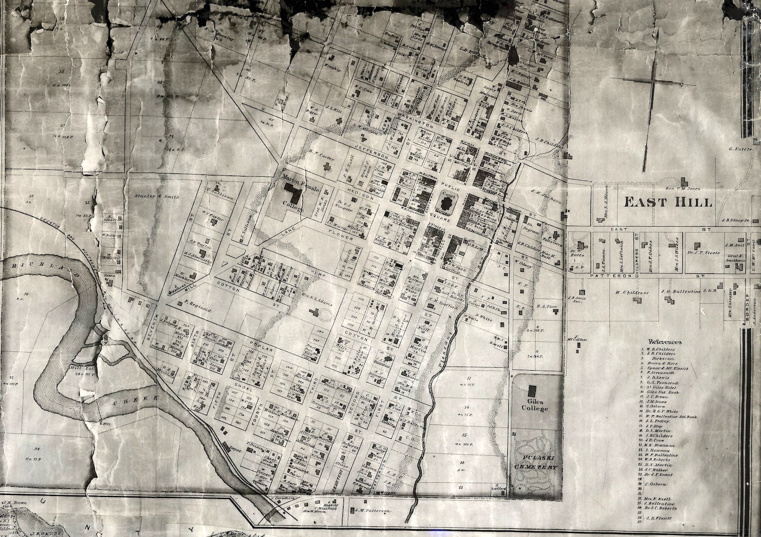
NOTE: The NE and SE stones were clearly visible and easily accessible in 2004. Former CITIZEN editor W.B. Romine wrote that he was “probably the only living man who has seen all four” and “a good deal of patient, persistent effort was necessary to locate them.” Additionally, the map above is from 1878 and is a portion of a map published by the D.G. Beers map company. Claudia
